fbpx

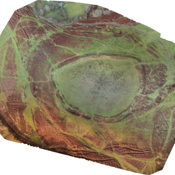
Using satellite images for measurements.

with No Comments

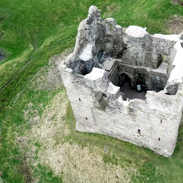
What if a drone can’t be used for aerial measurements? Last year, we were asked by a client to provide some aerial imagery to help with a query regarding the positions of some elements of a construction site compared to the positions stated in a planning application. The area concerned appeared to be spread across a couple of kilometres squared with the only space suitable for Take off/Landing (TOAL) appeared to be a couple of Byways Open to All Traffic … Read More

A quick multispectral drone survey of a field.

with No Comments

Agricultural imaging of a newly planted field by drone. On one of my walks during the Covid-19 ‘lockdown’ I happened across a field which had been planted during the previous winter. Several storms since it had been plated had done a huge amount of damage, washing what appeared to be a huge amount of soil, and crops out of the field, leaving it is a sorry state. I thought it would be ideal to use the field as a target … Read More

Drone mapping and modelling an Iron Age landscape.

with No Comments

Drone mapping within an Iron Age Settlement.   Maps. It has to be said, here at clearskyimaging we do love a good map or two! So much so that we have undertaken courses in mapping and photogrammetry with drones, and QGIS in order to present any mapping data we obtain for clients. Being based in Shropshire, within the Welsh marches, we do have a fair bit of history too.Here, we took the opportunity to investigate a local Iron Age hillfort, … Read More

OpenDroneMap on CentOS 7

with No Comments

Installing a Low Cost (or No Cost) Drone mapping solution on CentOS 7 Linux. Drone mapping and 3D modelling solutions range from free or very reasonable cost, to very high end solutions, with a price tag to match! Here we’re going to install a free, open source application, onto a free Operating System. Having previously installed, and utilised OpenDroneMap on a Mint 18 Linux Laptop and Workstation, as well as a Windows 10 Desktop, we took the opportunity, when rebuilding … Read More

Hopton Castle – an aerial video.

with No Comments

Drones, or UAVs are tools that can provide a lot of data, here we produced a small colourised height map of the immediate area for a castle ruin in Shopshire, as well as a short video. The impressive ruins of Hopton Castle lie to the west of the town of Craven Arms in South Shropshire. It was subject to a siege in 1644, and left in a state of ruin from at least the 18th century. However, in 2007, work … Read More

Drone mapping of abandoned quarry workings

with No Comments

On Titterstone Clee Hill, just outside of Ludlow in Shropshire, there are some old, long abandoned quarry workings, ripe for an example of drone mapping. Using a Mavic pro drone, and Maps Made Easy, a pre-planned UAV flight was designed and flown. In all, 80 photos were taken and stitched together. The resulting images, once submitted to Maps Made Easy, were then used to generate a small 3D model of the area. The resulting images that were stitched together, are … Read More