A quick multispectral drone survey of a field.

with No Comments

Agricultural imaging of a newly planted field by drone.

On one of my walks during the Covid-19 ‘lockdown’ I happened across a field which had been planted during the previous winter. Several storms since it had been plated had done a huge amount of damage, washing what appeared to be a huge amount of soil, and crops out of the field, leaving it is a sorry state. I thought it would be ideal to use the field as a target for some drone imaging, and hopefully some NDVI imaging to see the extent of the damage.

A field damaged by floods, ripe for a drone survey
The field, clearly showing the water damage

‘Sod’s Law’ meant that within a couple of days, there was a tractor running up and down the field ploughing it!, so there was no opportunity to survey the damage by drone.

A few days later, and whilst out with the drone, green shoots could be seen, along with what appeared to be signs of the previous damaged crop peeking through amongst the new drilling. I did take the opportunity of a few quick drone shots. It was quite obvious that the surrounding fields had suffered nearly as badly from the water, and flooding from the nearby river, with vast swathes of mud where the crops should be. Clearly, the winter storms had taken quite a toll on the crops.

Newly planted crops froma drone
Newly planted field. A quick drone photo.

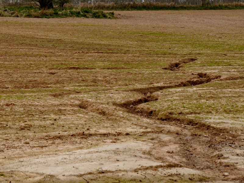
A few days later, I found half a dozen people walking in the field, they appeared to be pulling out the old crops which had survived the floods and ploughing.. quite a job!
The farmer was there and I asked if he’d like a drone ‘survey’ of the top half of the field,and at 2cm GSD it could possibly help to pinpoint where the old crops were growing amongst the new. Also an NDVI image of the crop, that could hopefully be built upon as the crops grow to show if any of the crop was stressed. Besides, I had to test out the new Parrot Sequioa multispectral sensor attached to the Phantom 4 Pro, and this seemed an ideal opportunity!

A week later, I made the first flight, taking just the one battery on the P4Pro, and around 17 minutes of flight time.Thankfully, there was a cloudless sky for this first operation.

Creating the stitched images.

I took the opportunity to run the data through OpenDroneMapper, which now apparently deals with multispectral imaging, which is nice.Before long, the RGB images providing a 133MB orthophoto, rather too large to email, and a very nice Elevation Model, showing the height difference between the Western corner and the rest of the field, showing why so much rain had caused so much crop damage.

Ortho photo of anewly panted field from a drone
Ortho photo of the newly planted field from drone images.
A digital elevation Model of a field from a drone
Digital Elevation Model showing the slope of the field.

NDVI Images.

The Parrot Sequoia sensor has an RGB camera and 4 different single band cameras:
Green
Red
Red Edge and
Near Inrfrared.
Images from these are combined whilst running the software and eventually produce the multispectral output that can be converted to NVDI (Or many other image formats)
This was the output from this first run. I expect that when the crops are growing from their present very early state, the green will be much more prevalent, showing healthy plants rather than the red indicating stressed plants, or bare soil.

A NDVI image of a newly planted field from drone imagery
NDVI image of the newly planted field with new crop growth

ClearSkyImaging are professional drone operators based in Shropshire. We are CAA authorised,with Permission for Commercial Operations (PfCO), and fully insured for aerial surveys and inspections.
We cover Shropshire and surrounding areas: Herefordshire, Worcestershire, Staffordshire, Cheshire, Gloucestershire, Warwickshire, Mid Wales and the West Midlands. We can operate all through the UK too!
Fell free to get in touch if you have a need for any agricultural, industrial, construction or commercial drone surveys or inspection work, we will be pleased to quote for any needs you have.

Comments are closed.